Current Conditions Dashboard
Current conditions maps: click the small images to view full size. Click on the section headers to expand/collapse each section.
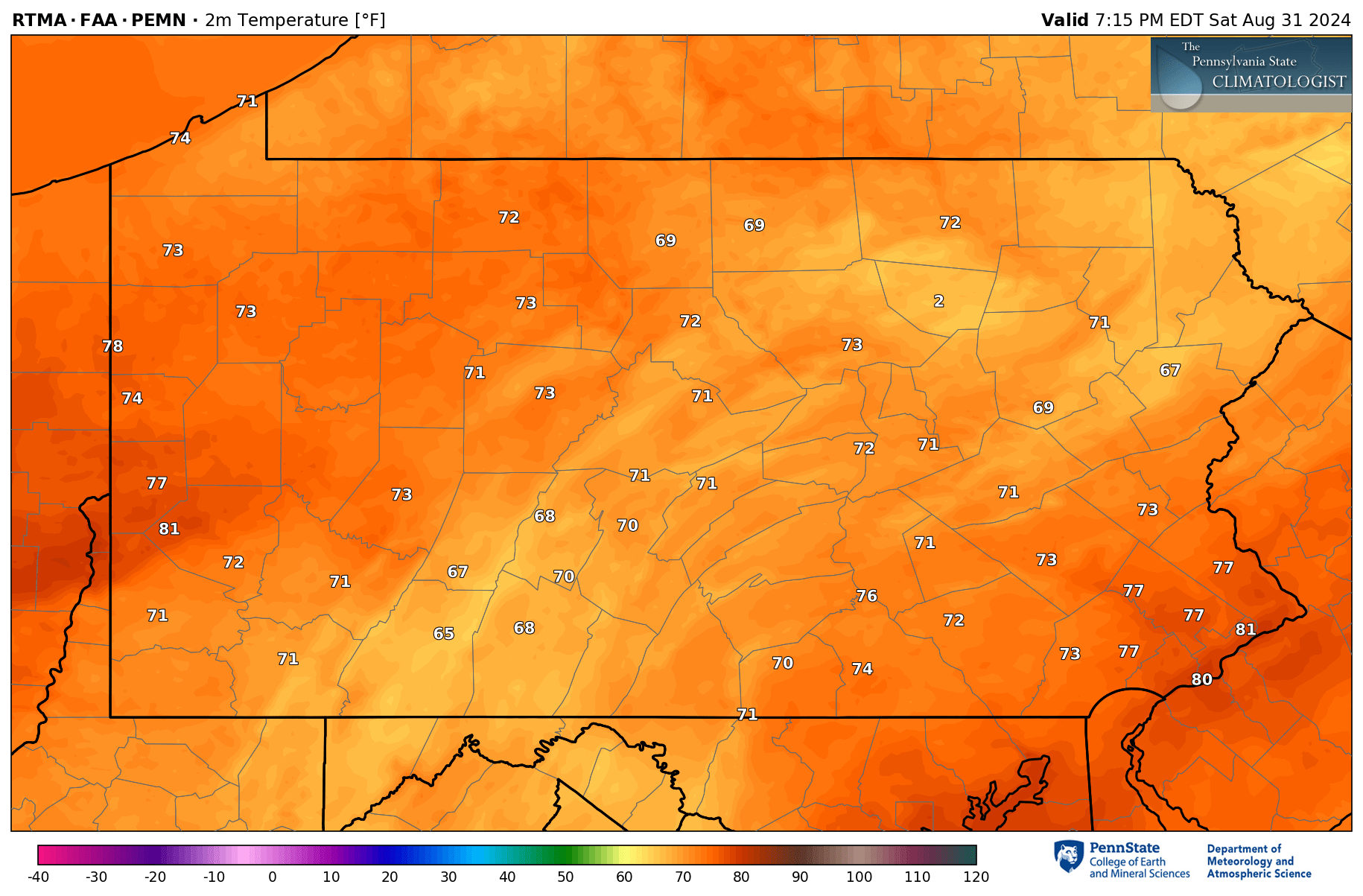
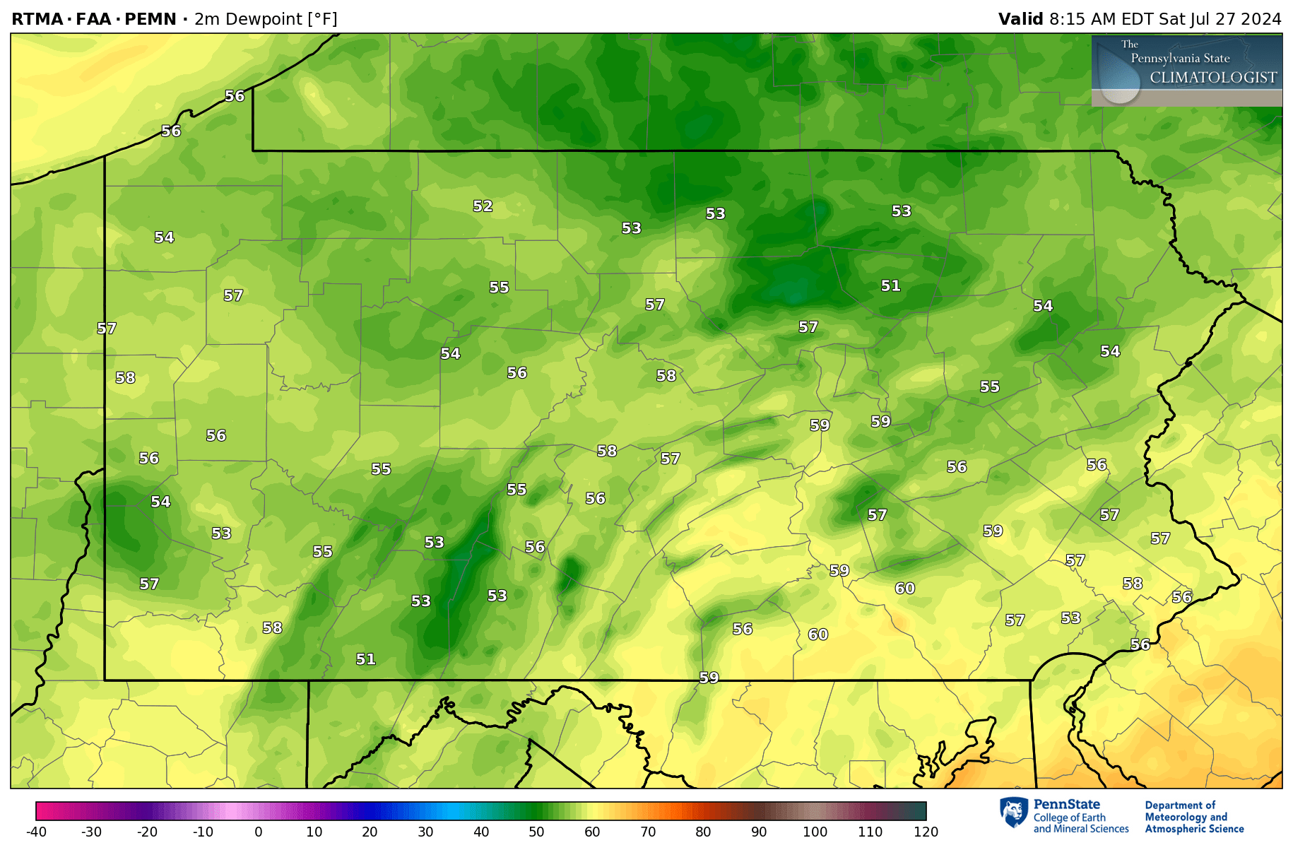
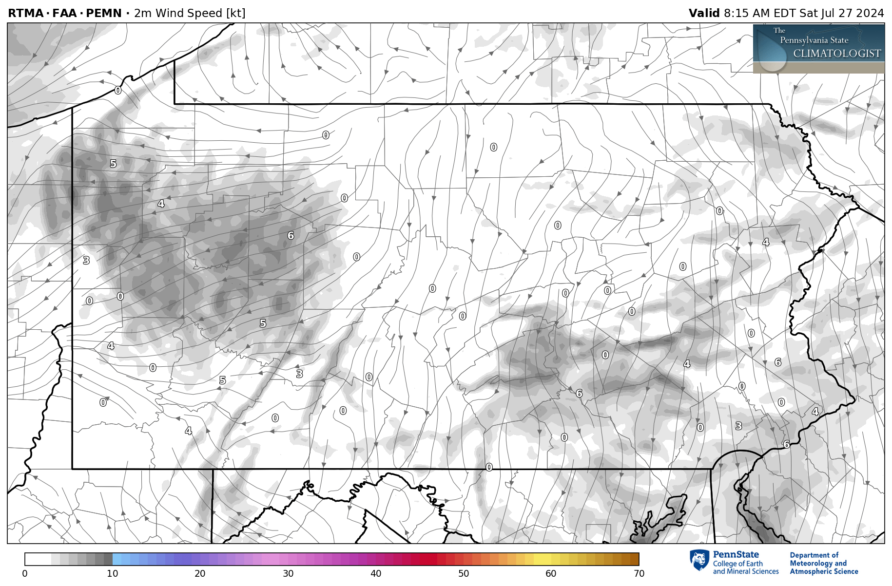

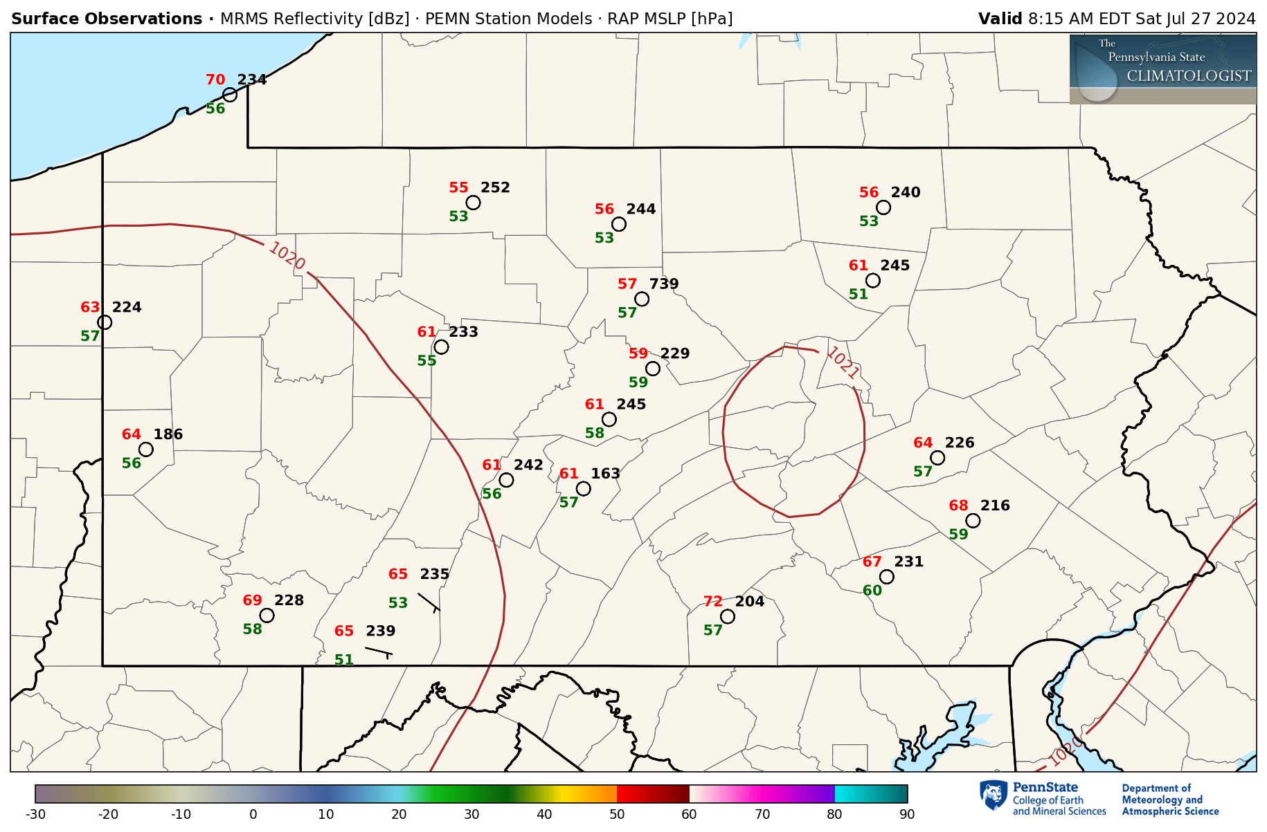
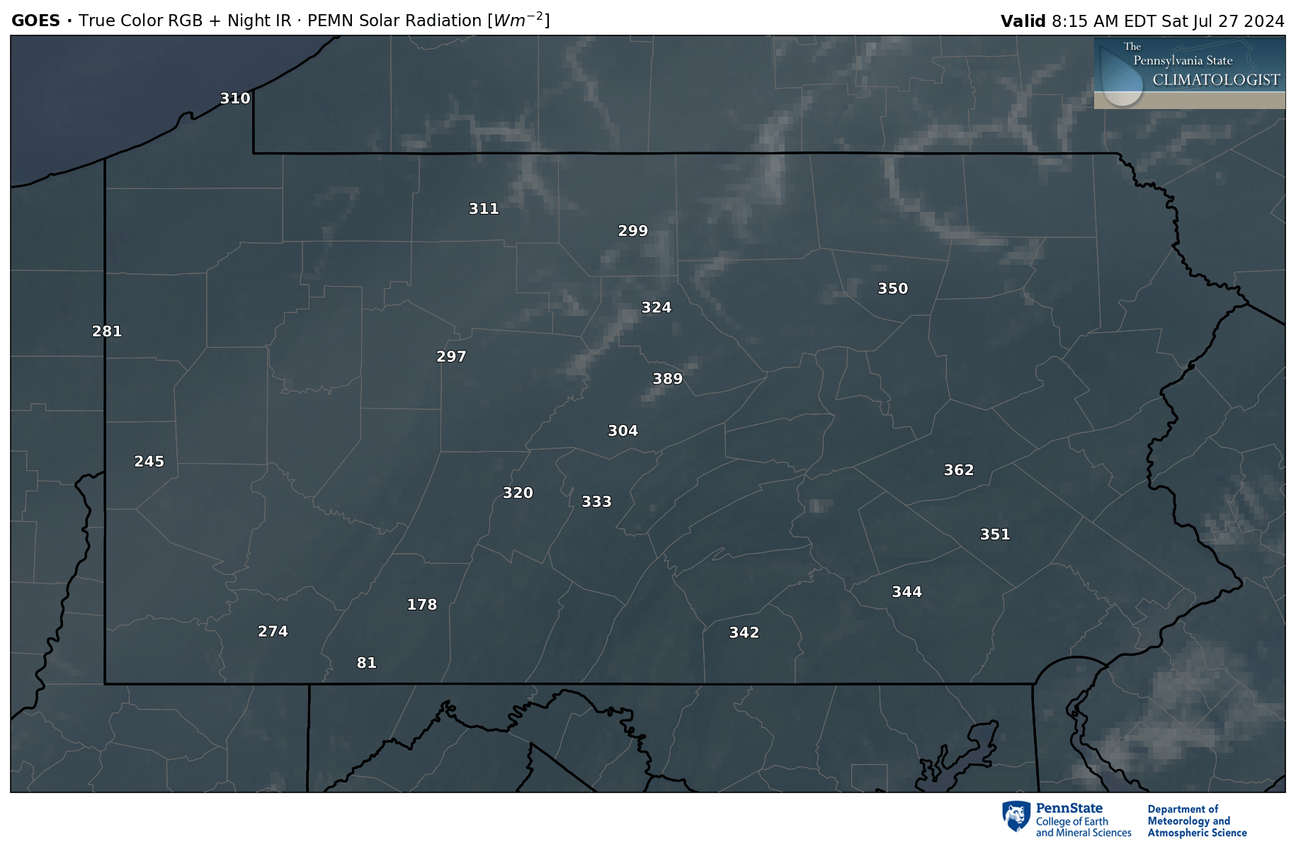


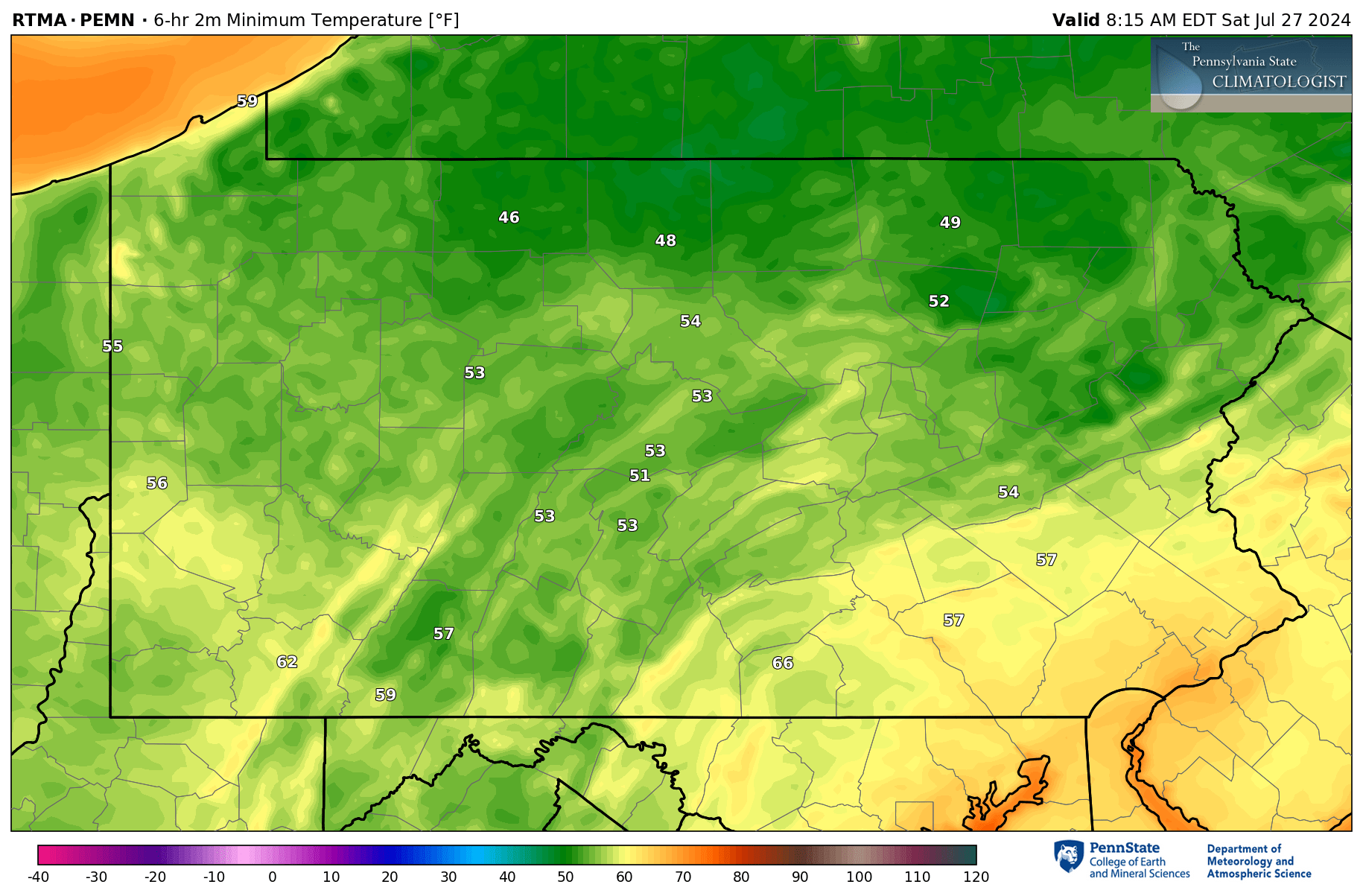
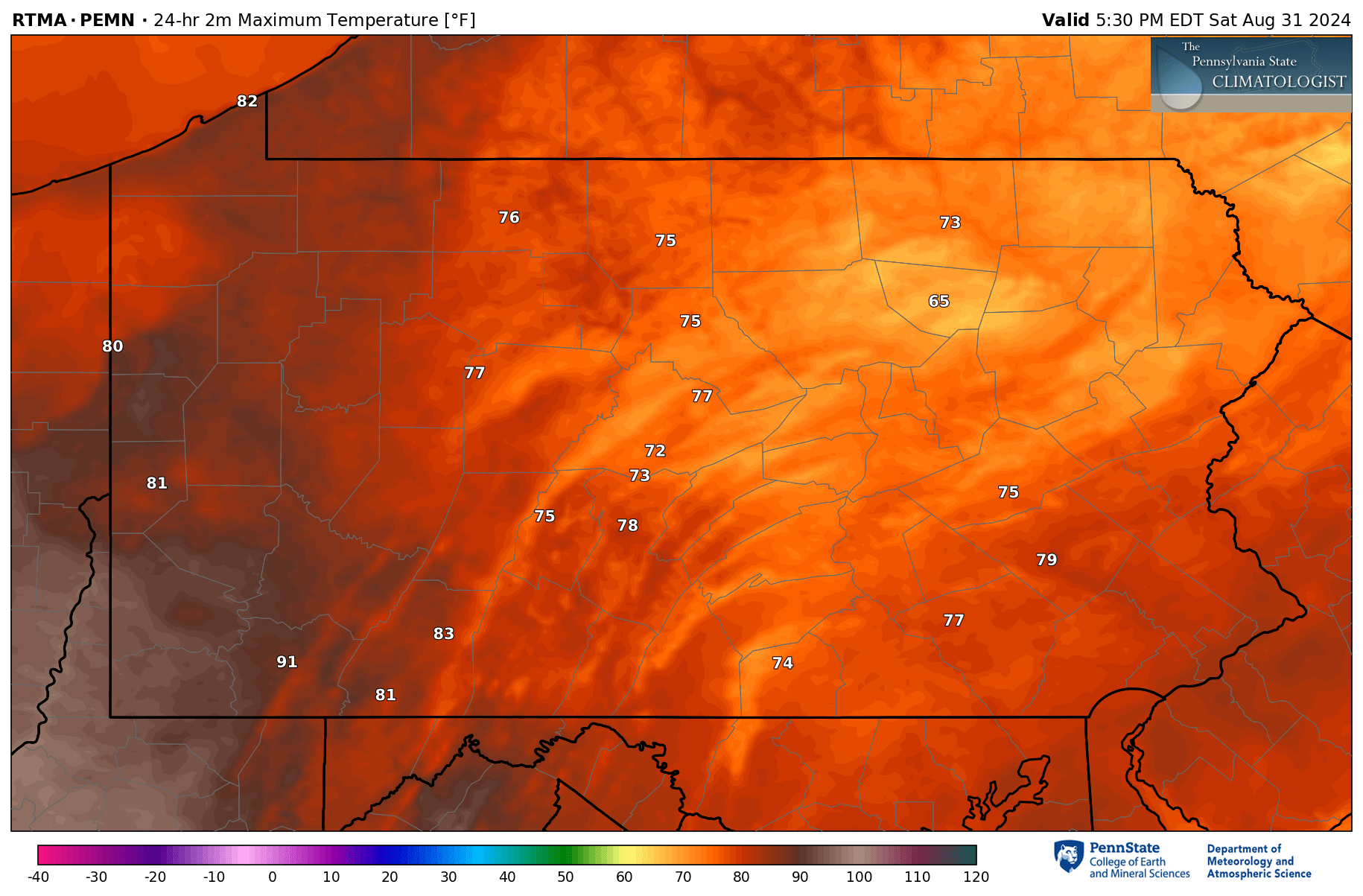
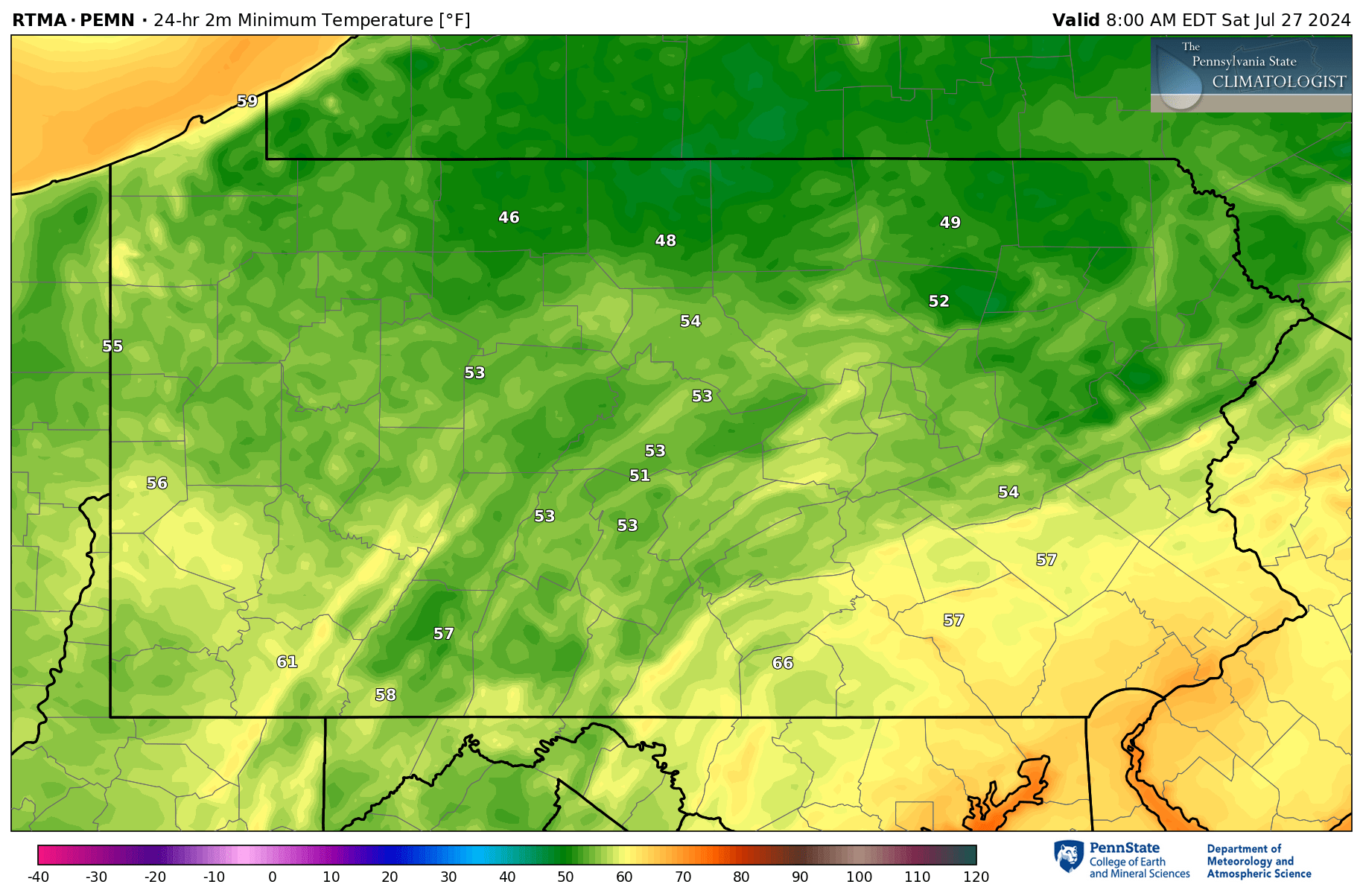

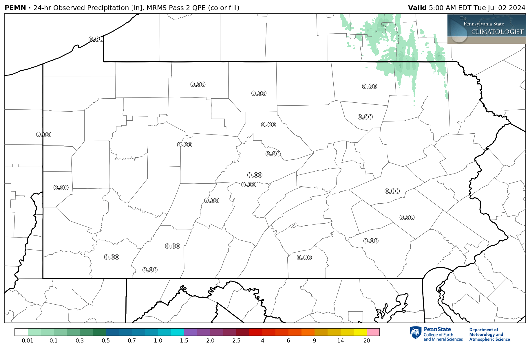


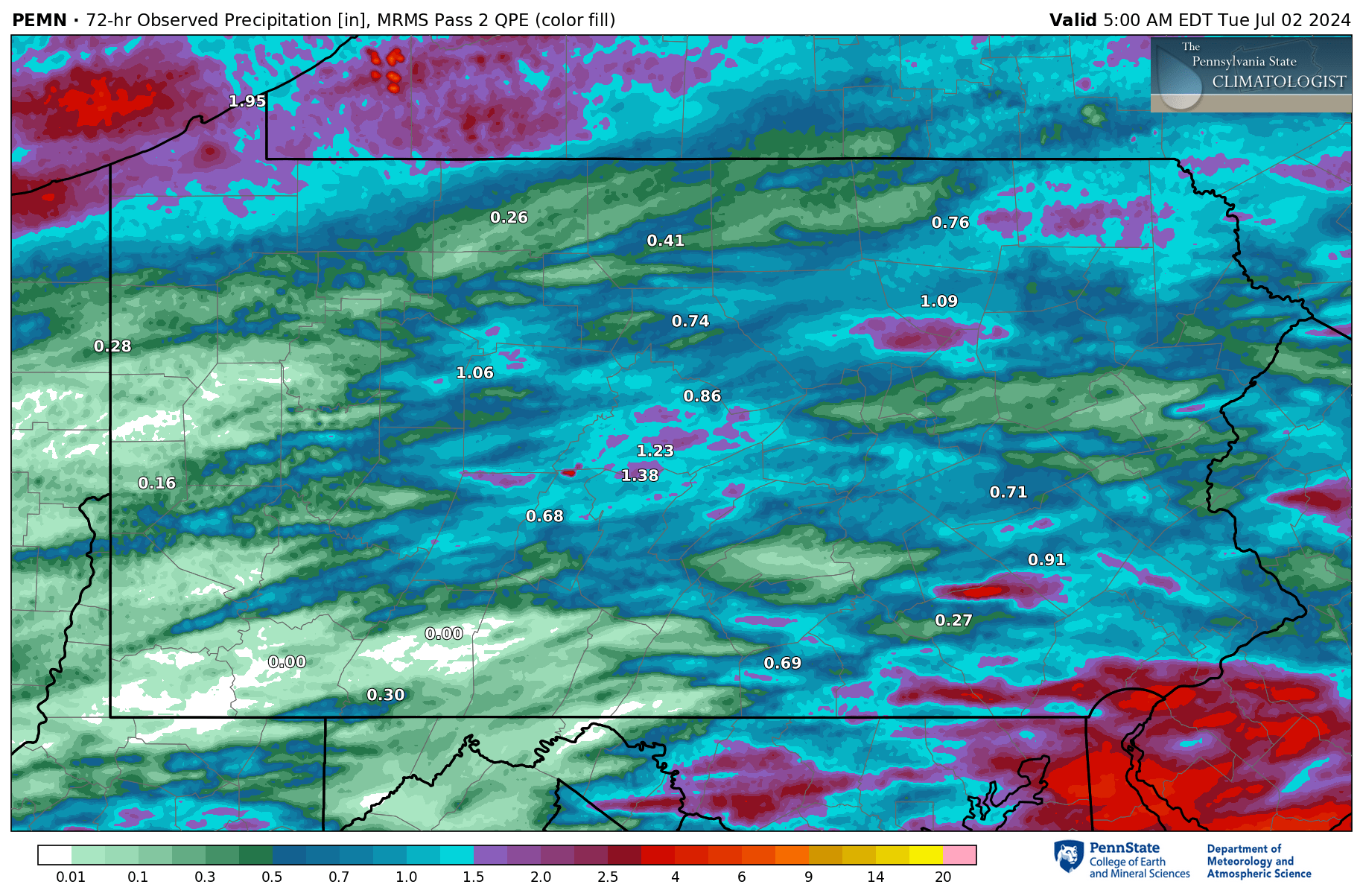
These maps are created with a combination of FAA and PEMN observations (values), underlayed with the RTMA (color fill).
Click here to view more maps on the new Meteo Map Wall Website!